








Six options, and what each one really costs you
When GNSS is unavailable, an outdoor robot has to derive position from something else: its own motion, the structure around it, or fixed infrastructure you install. Every option trades away something — global reference, drift performance, cost, or the freedom to work in unprepared environments. The practical question is not which is best in isolation, but which failure mode your application can tolerate.
First, be precise about what “blocked” means
Three quite different situations get described the same way, and they call for different answers:
- Intermittent blockage — passing a building, a bridge, a barn. Seconds at a time, with good sky either side. Bridging is enough.
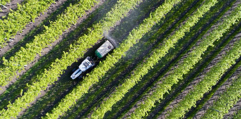
- Sustained degradation — an urban canyon, an orchard row, a tree-lined path. Minutes to hours of float or no fix, with occasional partial visibility. Bridging is not enough; you need continuous aiding.
- Total denial — indoors, tunnels, deep mines. No global reference at all for the duration. You need a mapped or infrastructure-based solution, or you accept a local frame.
Most outdoor robots live in the middle case, which is also the one most often solved as though it were the first.
The options, compared
| Approach | How error behaves | Global frame | Needs prepared environment |
|---|---|---|---|
| Wheel odometry | Grows with distance; corrupted by slip, uneven tyre loading and turns | No | No |
| Inertial dead reckoning | Grows with the square of elapsed time; diverges even at standstill | No | No |
| LiDAR SLAM / map matching | Bounded within a good map; fails in open or featureless terrain | Only via georeferenced map | Map must be built and maintained |
| UWB or beacon infrastructure | Bounded and excellent inside coverage; nothing outside it | Only via surveyed anchors | Yes — anchors installed and surveyed |
| Visual SLAM | Bounded after loop closure; drifts before it | No, unless anchored | Map or prior session helpful |
| Vision-inertial fusion with GNSS | Grows with distance travelled while GNSS is absent; re-anchored whenever any GNSS returns | Yes | No |
One honest qualification applies to the whole bottom half of that table. Without an absolute reference, position uncertainty grows without bound — Fixposition states this plainly in its own documentation on covariance estimation. Fusion slows the growth dramatically and re-anchors the moment any satellite information returns; it does not repeal the arithmetic.
The distinction that matters most
Note the difference between error that grows with time and error that grows with distance. An inertial solution degrades whether or not the robot is moving, and it degrades quadratically — which is why unaided MEMS dead reckoning is a bridging technique measured in seconds. A visual solution degrades only as the robot travels, and holds its position when stationary. For a machine that works slowly, stops frequently, and operates in one place for hours, that difference decides whether the approach is viable at all.
The second distinction is the global frame. SLAM and odometry tell you where you are relative to where you started. Agriculture, surveying, mapping, delivery and machine control all need coordinates that mean something to another system — a field boundary, a site plan, a map tile. Any approach without a global anchor eventually needs one bolted on.
How to choose
- Blockage measured in seconds, on an otherwise open route — a GNSS/INS with wheel odometry may be sufficient. Validate against your worst-case gap, not your average.
- A fixed indoor or enclosed site you control — infrastructure-based positioning or LiDAR SLAM against a maintained map is well proven.
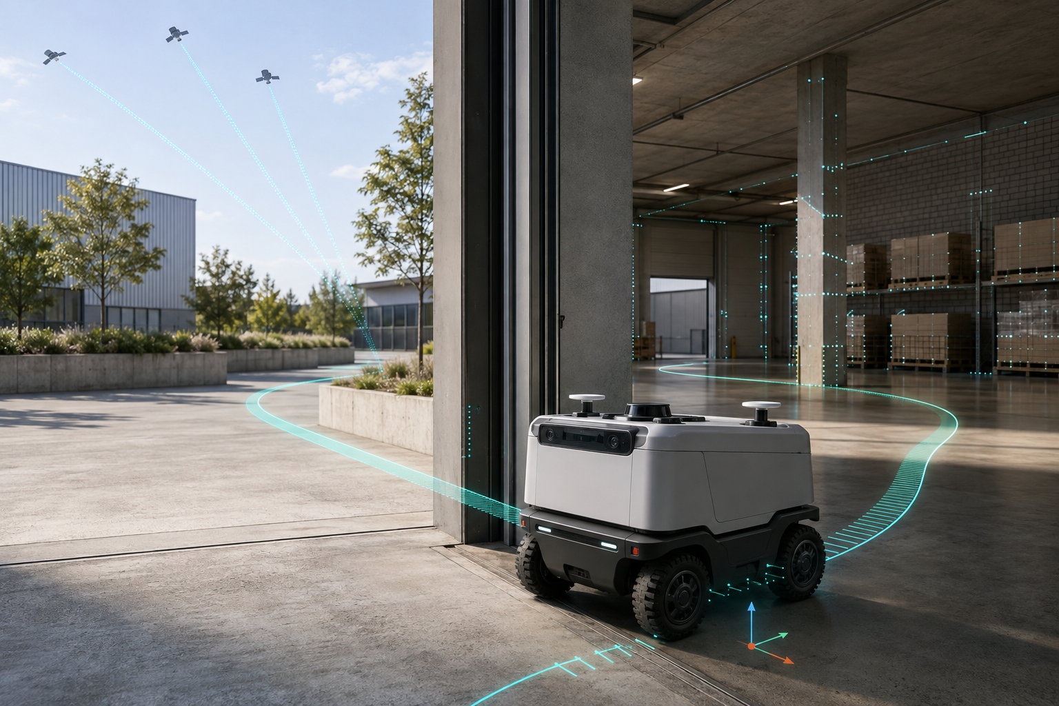
- Unprepared outdoor environments with sustained GNSS degradation — you need continuous aiding from a sensor that works where GNSS does not, plus a global anchor whenever satellites are available. This is what vision-inertial-GNSS fusion is for.
What deep fusion does differently
Loosely coupled systems run GNSS and inertial as separate solutions and blend the outputs. Deeply fused systems combine the raw measurements in a single estimator, so partial information still contributes — three satellites that cannot produce a standalone fix still constrain the solution when fused with visual and inertial measurements.
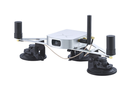
Fixposition's xFusion engine takes this approach, combining two multi-band RTK GNSS receivers, visual odometry, IMU and optional wheel-speed input, and outputting global position, orientation and velocity with covariances. Those covariance estimates are not decoration: they tighten under an RTK fix, grow gradually through an outage as the solution leans on inertial and visual measurements, and drop again immediately when good signal returns — so a navigation stack can read how much to trust the pose at any moment. Fixposition describes the result as removing the time-dependent drift characteristic of IMU-only solutions, and reports 100% availability in GNSS-denied or restricted areas. Open-source ROS 1 and ROS 2 drivers are available, and the output is a standard global pose your existing navigation stack can consume.
Frequently asked
Can I just use LiDAR SLAM outdoors?
You can, and in structured environments it works well. Open fields, uniform orchard rows and changing seasonal geometry are harder, maps need maintenance, and you still need a georeferencing step to get real-world coordinates.
How accurate is visual odometry without GNSS?
It depends on scene texture, lighting, camera calibration and distance travelled — which is why it is used as part of a fused solution rather than alone. Fusion lets each sensor cover the others' failure modes.
Does this work at night, in rain or in dust?
Fixposition states that the visual-inertial fusion output of the Vision-RTK 2 works reliably at night, in rain and in dust, and the unit is IP66-rated and has passed salt spray and temperature shock testing. The practical caution is mechanical rather than optical: mounting it where high-frequency vibration deflects the housing by centimetres will degrade visual feature tracking.
Do I need to build a map first?
Not for odometry-based fusion. Unlike map-matching approaches, it does not require a prior survey of the site.
Global position, no infrastructure, no map. Vision-RTK 2 gives an outdoor robot a continuous global pose in environments where GNSS alone cannot. Explore the technology or see the OEM integration path.


